
My views do not necessarily reflect the views of my employer.
November 22-24, 2025
In Luganville, Gidea, Alisa and I headed out for lunch. According to my research, there were a few restaurants along the waterfront. As we headed out away from the ship, the residents returning warned us about the imminent rain and offered their umbrellas (I already had mine with me).
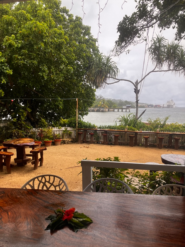
Gidea and Alisa shared a borrowed umbrella and by the time we reached the nearest restaurant, both of them were soaked. We did, however, have an excellent view of the ship.
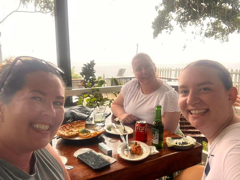
We enjoyed each other’s company over drinks and pizzas. Then it started POURING rain.
It seemed like a sign from the universe to order another round.
We watched the ship slowly lower a life boat into the water, feeling sorry for the crew scheduled for required training. The lifeboat drifted around just a bit before it was hoisted back in position.
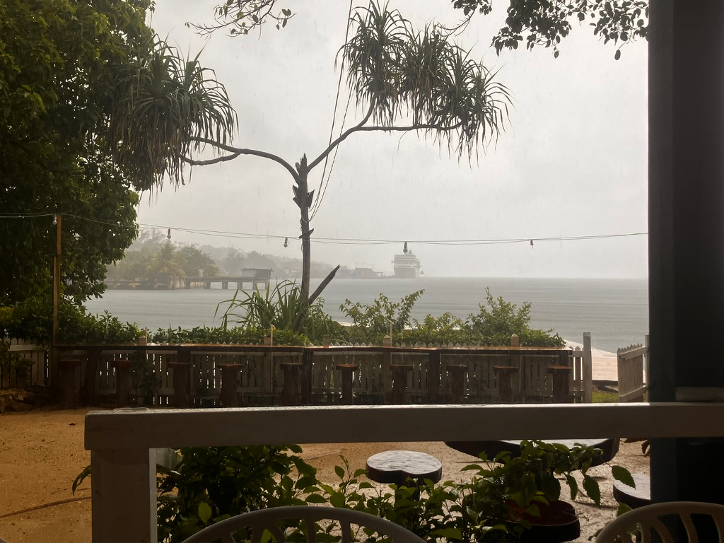
When we were ready to return to the ship, the rain had conveniently lifted.
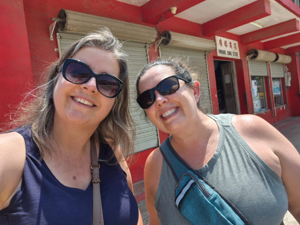
On our last day in Luganville, I went for a walk with Lauren. She had visited 10 years earlier and wanted to see how much the town had changed.
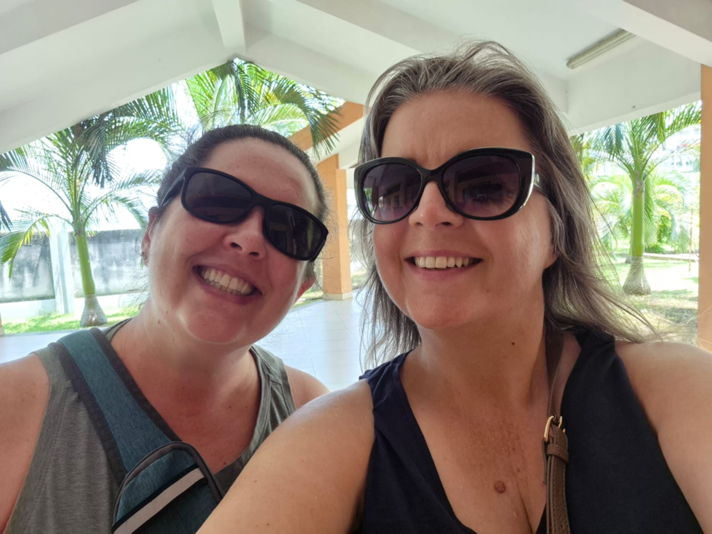
This time, the residents returning offered to loan us their umbrellas – this time to use as shade (The Odyssey really is like a floating neighborhood)! It was now hot and sunny.
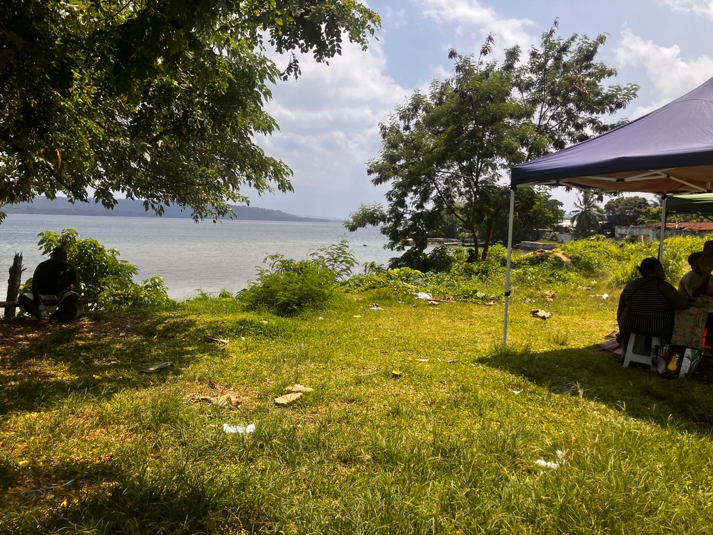
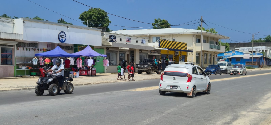
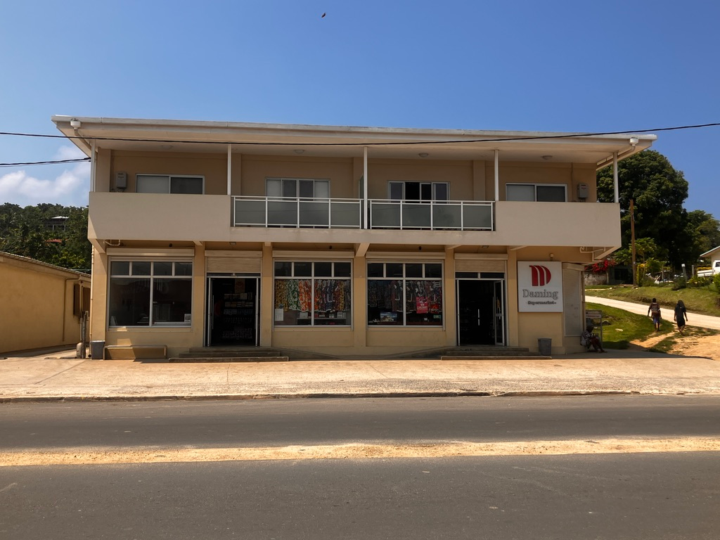
Satisfied that we’d seen what we wanted to see, we headed back to the ship.
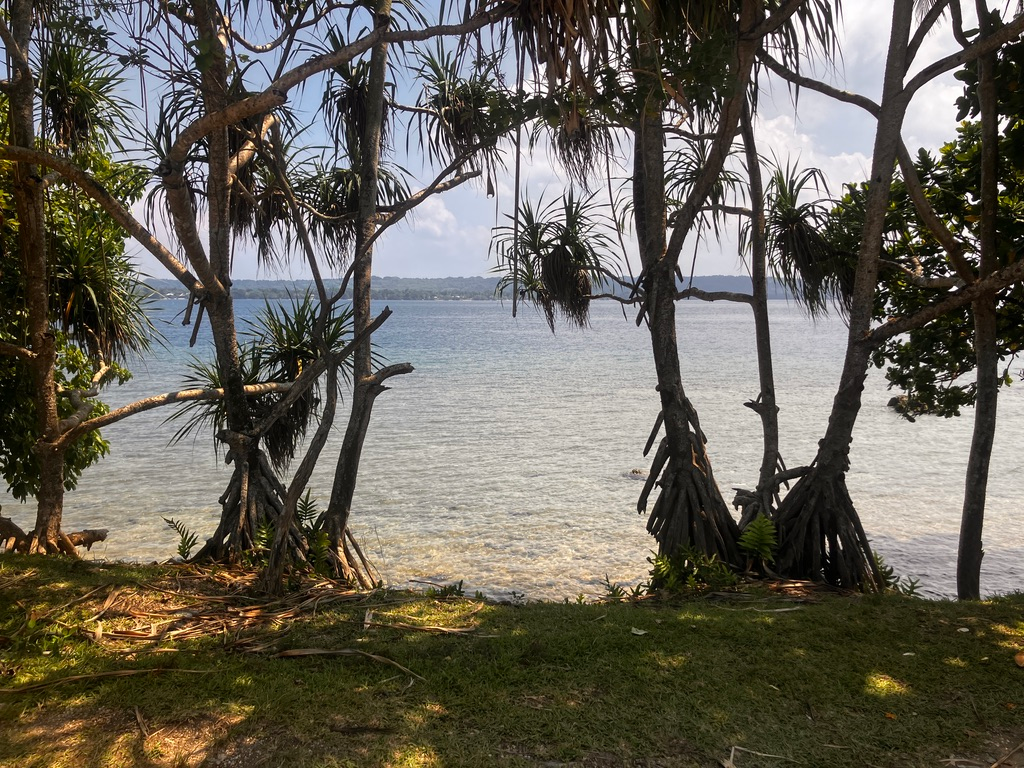
We spotted some very white officers playing in the water:
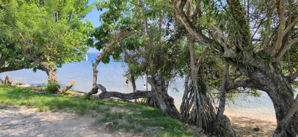
Luganville, Vanuatu
Luganville is the relaxed little “big town” of Espiritu Santo—Vanuatu’s largest island and the country’s second-largest city, home to roughly 16–20,000 residents. Locals from the northern islands call the city “Santo,” while rural residents of Espiritu Santo often call it “Kanal,” a holdover from the French era. Built on the site of a major U.S. WWII logistics base, its unusually wide main street was famously designed so four army tanks could drive side by side. Today, that same road links the wharf, market, and a mix of all-in-one shops and small boutiques. But the true beauty of this port lies just beyond town—warm, welcoming communities, untouched tropical landscapes, vivid blue water, and powerful wartime history that shaped the island.
Itinerary:
Arrival: Saturday November 22, 7:00am (please allow time for port clearance)
Departure: Sunday November 24, All aboard: 4:00pm Sail away: 5:00pm
Weather
- Average Temps: High: ~30°C / 86°F; Low: ~23°C / 73°F
- Climate: Start of the wet / cyclone season: hot, humid, and very lush. Expect intense downpours, often in short bursts, with sunny breaks in between. Sea temperatures are warm and comfortable for swimming and snorkeling.
- What to Wear: Light, breathable clothing (linen/cotton), shorts and quick-dry fabrics. Wide-brimmed hat, sunglasses, reef-safe sunscreen. Comfortable sandals or trainers for town; sturdy water shoes or strap-on sandals for blue holes, beaches, and boat landings. Lightweight rain jacket or small umbrella for passing showers.
Near the Pier:
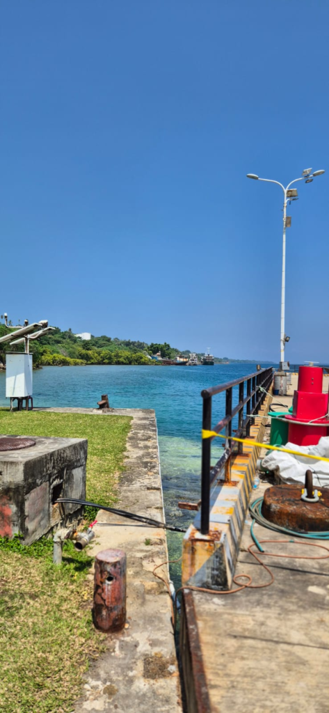
Cruise Ship Dock: Main Wharf Cruise Ship Terminal
Address: Main Wharf, Canal Road Boulevard Higginson area, Luganville, Espiritu Santo, Vanuatu (locally just “Main Wharf Luganville”).
Distances (approx.):
- Ship to port gate: ~100–300 m (flat).
- Ship to town center: about a 10 minute drive.
Nearby Essentials
Pharmacy – The Drugstore Santo General pharmacy/chemists with OTC meds, basic prescription support and health products.
- Location: along main street (Boulevard Higginson).
- Approx. 10–15 min walk / 3–5 min taxi from the wharf.
ATM: National Bank of Vanuatu (NBV) has ATMs at its Luganville branch and Luganville Market branch, plus others (BSP, ANZ) around town. Nearest practical ATMs: around Luganville Market / main street, ~10–15 min walk or short taxi.
Grocery / Snacks: Luganville Market – fresh fruit, veg, simple snacks, and cooked local meals; off Boulevard Higginson near Sarakata Bridge. Small supermarkets/Chinese stores such as LCM along the main street for packaged goods.
Nearest Church: Multiple denominations in town; Sainte Thérèse Catholic Church and Anglican congregations are near the market / central area, ~10–15 min drive or short taxi depending on traffic and where you start. Church of Christ -Sunday service 0900hrs
Nearest Golf: Santo Golf & Country Club / Santo Golf Course – oceanside 18-hole course; about a 15–20 min driveeast of Luganville.
Getting Around:
🚶 Walking The port is walkable to town: expect 10–15 minutes on mostly flat pavement to reach main street, markets, and several cafés. Heat and humidity can be intense by late morning—take water, go slowly, and seek shade.
🚌 Public Transit / Local Buses No formal route maps; minivans marked “BUS” run loosely along the main sealed road north of Luganville serving villages, blue holes, and beaches.
- Payment: cash directly to the driver in Vatu (VUV).
- Short hops in/around town: ~150–200 VUV.
- Out toward blue holes / east coast: ~500–800 VUV per person depending on distance and negotiation.
- Always confirm the fare before you get in.
🚖 Taxis wait near the port terminal and main street.
- Fares are usually negotiated, not metered. As a rough guide:
- Wharf ↔ town center: ~300–600 VUV.
- Wharf ↔ blue holes: commonly 4,000–5,000 VUV per car one-way or by half/full-day charter; always agree in advance.
🚴 Bike Rentals Not widely formalized in the port area; occasionally available via resorts or local operators, but not guaranteed for day visitors.
🚗 Car Rentals Rental cars and 4WDs available from agencies in Luganville and at Pekoa Airport (~15 min drive from town). Roads to blue holes, Champagne Beach and Port Olry are sealed but can be potholed; drive cautiously and avoid night driving.
Hop-On Hop-Off: No HOHO bus in the classic cruise sense. Shore tours and local operators or taxis/minibuses are the main options.
Witnessing:
SS President Coolidge (Wreck Diving) Once a luxury liner, the SS President Coolidge became a WWII troopship and sank in 1942 after striking allied mines off Santo, now one of the world’s most famous wreck dives. Divers can explore cargo holds, gun emplacements, and the iconic “Lady” statue, often alongside dense schools of fish and stunning soft corals.
- Practical:
- Depths: advanced diving (up to 60 m for technical, shallower options for experienced rec divers).
- Access: by dive operators based 5–10 min drive from town (e.g., Pacific Dive).
- Time: allow ½–full day if diving.
✨ Tip: This is a bucket-list dive—if you’re not diving, some operators can arrange snorkeling near the reef edge or land-based WWII tours instead.
Million Dollar Point (Snorkel & Shore Dive) At Million Dollar Point, the seafloor is littered with bulldozers, trucks, jeeps and other US equipment dumped after WWII—now encrusted with coral and home to reef fish. You literally snorkel or shore-dive over an underwater military junkyard-turned-reef.
- Practical:
- ~10–15 min drive east of Luganville by taxi, tour, or rental car.
- Entry fee and simple facilities at the beach (varies).
- Good for snorkelers and divers; visibility varies with swell.
✨ Tip: Wear reef shoes—there’s scrap metal and rubble underfoot near shore.
East Coast Blue Holes (Riri, Matevulu, Nanda) Santo’s blue holes are deep, crystal-clear freshwater springs in the rainforest, glowing an almost electric blue against the green jungle. Riri, Matevulu, and Nanda (Jackie’s) are the best-known, reachable via the east coast road or by kayak up jungle rivers. Expect rope swings, simple platforms, and unbelievably clear water.
- Practical:
- ~30–40 min drive from Luganville; minibus or taxi, or guided tour.
- Entry fees around 1,000 VUV at some holes, often including a drink/snack.
- Allow 2–4 hours for one blue hole, or a full day to combine several.
✨ Tip: Bring mask/snorkel, insect repellent, and a dry bag. The water is freshwater and feels cooler than the sea—perfect in the November heat.
Champagne Beach & Port Olry (Day-Trip Beaches) Widely ranked among the South Pacific’s most beautiful beaches, Champagne Beach features blinding white sand and turquoise water on Santo’s northeast coast; Port Olry is a nearby village beach with simple beachfront eateries.
- Practical:
- About 45–60 min drive from Luganville along the “Coconut Highway”.
- Access via pre-arranged tours, taxi/van charters, or rental car.
- Expect small admission/parking fees and basic facilities.
✨ Tip: Combine Champagne Beach, a blue hole, and Port Olry in one full-day loop if your port times allow.
Learning:
South Pacific WWII Museum (Unity Park) A dedicated WWII museum project on the banks of the Sarakata River, with a mini-museum open in Luganville showcasing Santo’s vital role as a major US base. Exhibits cover military campaigns, local life during the war, and recovered artifacts.
- Practical:
- Location: Unity Park on Main Street (Boulevard Higginson), a short taxi or moderate walk from the wharf.
- Hours: typically Mon–Fri 8:00–16:00 and cruise-ship days.
- Entry: donation encouraged.
✨ Tip: Great pre-cursor to Coolidge or Million Dollar Point tours—helps guests visualize what they’re seeing underwater.
Discovery:
The Luganville Local Market is the social and culinary heart of town: stalls of tropical fruit, vegetables, root crops, flowers, seafood, and prepared local dishes, often right by a small waterfront park.
- Practical:
- ~10–15 min walk from the wharf.
- Open most days; evenings quieter.
✨ Tip: Market meal booths are an easy way to try tuluk, laplap, fresh fish, and local sweets at very local prices.
Millennium Cave Adventure A full-on jungle trek and canyoning experience: hike through tropical forest, clamber over rocks into Vanuatu’s largest cave, then float or wade down a river gorge. It’s widely rated as one of the top adventure tours in Vanuatu.
- Practical:
- ~45 min 4WD drive from Luganville; full-day (8:00–16:30) guided tour.
- Requires good mobility, sure-footedness, and comfort in water.
✨ Tip: This is strenuous—great for fit, adventurous residents; not suitable for guests with limited mobility or balance issues.
Mount Hope Waterfall An off-the-beaten-path tour combining a short jungle walk, river float, and immersive waterfall experience in lush rainforest.
- Practical:
- Usually arranged via tour operator (e.g., from Oyster Island and Santo-based tours).
- Allow ½–full day.
- ✨ Tip: Emphasize proper footwear and dry bags—you will get wet.
Hiking
Lonnoc Beach to Champagne Beach Coastal Walk (easy–moderate) A stunning coastline walk along two of Espiritu Santo’s most beautiful beaches.
- Description: Walk the sweep of Lonnoc Beach, then follow the coastal path/roadside to Champagne Beach (about 25–35 minutes). It’s not a wilderness trail—more a scenic seaside walk—but the views are gorgeous.
- Access: Taxi from Luganville to Lonnoc Beach (40–50 min). Return by taxi from Champagne Beach or walk back.
- Notes: Shade varies; bring water.
Million Dollar Point Coastal Walk (easy) Explore the coastline around one of Vanuatu’s most unique historical sites.
- Description: After visiting the wreckage along the beachfront, continue walking the coastline north or south on flat coral-sand tracks. Very photogenic with low reef shelves, tidal pools, and WWII metal debris peeking through.
- Access: Taxi from Luganville (10–15 min). Entrance fee applies (~500–1,000 VUV).
- Notes: Uneven coral rock in places—reef shoes are helpful. ✨ Tip: Best at low tide when tidal pools are visible.
Riri River Walk (easy – no guide needed if not paddling) Guests can walk along a quiet riverside road to enjoy the lush scenery.
- Description: Even if not visiting the Blue Hole by canoe, walking the Riri River roadside gives peaceful rainforest views, crystal-clear water, and birdlife. The road is safe and lightly trafficked.
- Access: Taxi to Riri River turn-off (~15–20 min).
Walk as long as desired; return the same way. - Notes: Not a marked trail—it’s a calm rural road.
✨ Tip: Bring insect repellent.
Santo Heritage Trail (Luganville Township Walk – easy) Create your own “heritage trail” inside Luganville.
- Description: A self-guided walk past: WWII Quonset huts, Old US military buildings, Unity Park, Luganville Markets, Sarakata River Bridge
- Access: Walk straight from the ship/town.
- Difficulty: Easy✨ Tip: Start at the Market and work clockwise around town.
Sarakata River Bridge to Pepsi Beach Walk (easy) A pleasant, flat walk from the outskirts of town to a calm swimming beach.
- Description: From Sarakata Bridge, follow the road northeast toward Pepsi Beach. Good shade, light traffic, and a rewarding beach at the end.
- Access: Walk or take a cheap local truck-bus (“kustom bus”) to the bridge; walk the rest (~20–30 min).
Palikulo Bay WWII Walk (easy–moderate) A historic walk around remnants of US WWII infrastructure.
- Description: You can walk the open, grassy headlands of Palikulo Bay, passing ruined bunkers, concrete slabs, and viewpoints of the old US base.
- Access: Taxi from Luganville (~15–20 min).
- Difficulty: Easy to moderate (uneven ground). ✨ Tip: Avoid exploring any thick bush areas alone—stick to open trails.
Independent Hiking Safety Tips for Luganville
- Carry cash (VUV) for entry fees.
- Roads are safe but lack sidewalks—walk facing traffic.
- Bring water, hat, reef shoes, and repellent.
- Avoid dense bush unless with a guide (navigation + safety).
- Wildlife is minimal—but terrain can be uneven and slippery.
- Cell coverage is good near town but patchy farther out.
🚫 NOT RECOMMENDED WITHOUT A TOUR
For safety or access reasons, the following require a guide or organized transport:
- Millennium Cave (dangerous without guides; not permitted independently)
- Nanda Blue Hole inner jungle tracks
- Matantas Bush Walks (wild pig tracks)
- Mt Tasiriki / highland hikes
- Private plantation trails
Bike Rides / Paths
Luganville Waterfront → Sarakata River Ride (Easy) A gentle, flat coastal ride starting from the main wharf area and following the quiet waterfront road toward the Sarakata River Bridge.
- Description: Easy riding past shops, small cafés, and lagoon views. Good for guests wanting a short outing near town.
- Access: Start directly from the port; bikes must be brought ashore (no local rentals).
- Difficulty: Easy, paved roads, light traffic.
✨ Tip: Ride in the morning before the heat builds.
Luganville → Million Dollar Point Coastal Road (Easy–Moderate) A scenic coastal route following sealed and semi-sealed roads to the iconic WWII dump site.
· Description: Wide-open coastal views, coconut plantations, and a rewarding stop at Million Dollar Point.
· Distance: ~10–12 km one way from town.
· Access: Start from the wharf; ride the main coastal road west.
· Difficulty: Easy–Moderate, depending on heat and distance.
✨ Tip: Bring reef shoes if you plan to explore the shoreline after biking.
Santo East Coast Ride: Riri River & Blue Hole Area (Moderate) A beautiful ride through rural villages and rainforest-lined roads toward the Riri River and blue-hole turnoffs.
· Description: Shaded stretches, small gardens, and quiet rural scenery.
· Distance: 8–15 km depending on route.
· Access: Begin in Luganville and follow the east-coast road; traffic is light but roads narrow.
· Difficulty: Moderate, some rolling hills; heat and humidity increase exertion.
✨ Tip: Keep right for turnoffs to Riri River or Matevulu Blue Hole if you want a refreshing post-ride swim.
Palikulo Bay Loop (Moderate) A loop ride around the headlands of Palikulo Bay, known for wartime remnants and sweeping bay views.
· Description: Quiet roads, occasional WWII concrete pads, and wide ocean vistas.
· Distance: ~10–18 km depending on chosen turning points.
· Access: Taxi with your bike to the Palikulo turnoff (10–15 min), then ride a loop returning to town or arrange return pickup.
· Difficulty: Moderate, lightly trafficked mixed-surface roads.
✨ Tip: Stay on open, visible paths—do not enter dense bush due to rusty war debris.
Luganville → Turtle Bay Scenic Ride (Challenging / Long Ride) A longer endurance ride for experienced cyclists, following the dramatic east-coast road toward Turtle Bay.
· Description: Coastal breezes, volcanic hills, village scenery, and intermittent ocean views.
· Distance: 25–40 km (one way), depending on how far you ride.
· Access: Start directly from the port; return the same way or arrange a pickup.
· Difficulty: Challenging, long distances, hills, and heat exposure.
✨ Tip: Only for fit cyclists—bring multiple liters of water, snacks, and be mindful of time for return to ship.
Bike-Friendly Areas vs. Avoid Zones
Bike-Friendly:
• Luganville Waterfront & Main Street
• Coastal road to Million Dollar Point
• East-coast road toward Riri River / Blue Holes
• Palikulo Bay headlands
• Sarakata River area
Avoid Without Local Knowledge:
• Thick bush paths or unmarked trails
• Old WWII sites far off-road (potential UXO presence)
• Remote inland roads with poor signage
• Riding at dusk or night (no street lighting, loose dogs)
“Bring Your Own Bike” Advisory
Luganville does not have cruise-day bicycle rentals. Guests who want to bike ashore must bring their own bike from the ship
Shopping
- Luganville Market & Food Stalls – the best place for fresh fruit, local prepared foods, and simple handicrafts(woven baskets, mats, simple jewelry).
- Main Street (Boulevard Higginson) – small general stores, LCM supermarket, bakeries and cafés; a few places selling T-shirts, sarongs, and basic souvenirs.
✨ Tip: This is not a high-end shopping port; frame it as local markets & everyday life rather than malls and luxury brands.
Exploring:
Aore Island Day Visits A short boat ride across the channel from Luganville, Aore Island offers quieter beaches, small resorts, diving, and coffee plantation tours.
- Practical:
- Boat transfers arranged through Aore resorts or tour operators.
- Allow ½–full day.
✨ Tip: Nice option for those wanting “South Pacific resort vibes” without a long drive.
Tasting:
Market Meal Booths – ultra-local, inexpensive plates at the market.
The Tu Restaurant & Bar – popular Luganville spot with bar menu and occasional live/string band music.
Smugglers Bar / waterfront eateries – seafood and drinks overlooking Luganville Bay.
Kava & Local Bars Even if guests skip kava, bars like The Tu Restaurant & Bar, Smugglers Bar, and other waterfront spots in and around town offer sunset drinks with live or recorded music and a mix of locals and visitors.
- Practical: Short taxi from the wharf; many are walkable in cooler evening hours.
- ✨ Tip: Remind guests that kava is very sedating and doesn’t mix well with alcohol or early morning tours.
Nightlife:
- Evening drinks / live music:
- Bars and hotel restaurants (e.g., The Tu, Deco Stop, Smugglers) sometimes feature live or string-band music—best checked on the day via staff or local notices.
- Kava Bars:
- Small, simple kava bars around town; early evening is the normal time to go. Emphasize moderation and avoiding mixing with alcohol.
*This information is provided for the convenience of our residents and guests. While every effort has been made to ensure accuracy at the time of preparation—including tour details, operating hours, transportation options, pricing, and local regulations—conditions in port may change without notice. Weather, sea state, cultural events, business availability, and safety considerations can affect access to local attractions or services.
Residents are encouraged to use their own judgment, follow local guidance, and confirm details independently when planning activities ashore. Villa Vie Odyssey, its crew, and its representatives are not responsible for changes, closures, or incidents that may occur while guests are ashore.
For your safety, always return to the ship by the designated all-aboard time, and follow instructions from local authorities and shipboard staff at all times.